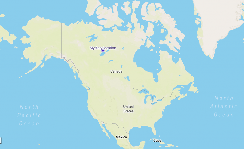
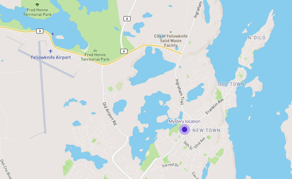
Can you guess what this dot on the map of Yellowknife, capital of Canada’s Northwest Territories, represents? Hint: We’re going to need more of these in the future…

The Northern Lights… grizzly bears…snowmobiles…Land of the Midnight Sun…
Welcome to majestic Canada, Friends!
In honor of October’s Map of the Month (#motm), we’re zeroing in on the great northern city of Yellowknife, a bustling Canadian metropolis that has emerged in our research as one very interesting locale.
Why? For lots of reasons, it turns out. But for our purposes, regarding data analytics, this gem on the shores of (the unfortunately named) Great Slave Lake beholds a particularly unique characteristic that, as of yet, no other place on Earth can presently claim.
Can you guess what that unique characteristic is?
Sure, Great Slave Lake happens to be the deepest of all the lakes in North America. But that’s not the factoid we’re after.
Here’s a hint: There’s something located in this town of 20K people—something we’re beginning to see more of in urban and suburban regions all over the world.
What makes this particular thing so special is that it just so happens to be the one that’s located the farthest north of them all, geographically speaking.
What is this thing?
Perhaps a closer look around the place will give you some idea.

Yellowknife, capital city of Canada’s Northwest Territories, is home to the infamous Ragged Ass Road, which suggests one reason you might get a ticket for speeding there. What with all the circuitous routes around snowcapped peaks and roaring rivers, the highway speed limit is just over 40 miles per hour.
Heavy snow falls on the place for much of the year, making it ideal for the popular Snowking Winter Festival, a month-long event (Feb. 29 – March 29, 2020) that takes place on top of frozen water in the Yellowknife Bay, and inside of a castle that’s built out of ice and snow. Admission is only $10, and you can rent the whole castle out for special events, for any of you who may be going after that Ice Queen/Elsa vibe for your winter wedding.
It should come as no surprise, then, that if you wanted to reach the Arctic Circle from Yellowknife, it’d take you less than a day’s drive to get there. Which makes viewing the Aurora Borealis spectacular from here anytime between November and April. Locals get their official Aurora Forecast here.
Given the city’s remoteness, its cold temps and bountiful snowfall, then, how’s the quality of life for Yellowknife residents? The city boasts its ability to offer true work-life balance. Canadians, of course, are known around the world for their outdoorsy spirit, and Yellowknifians are no different.
When the majority of them aren’t working (primarily, for the city’s government bodies or the region’s major diamond producers) they’re enjoying some extreme sledding, snow (not sand!) volleyball, mountain motocross, midnight golf tournaments, and what can only be described to this Pennsylvania writer as cross-country snow-dog skiing. Check out the city’s promo video on year-round outdoor life for yourself if you don’t believe me.
This unique wilderness region was originally occupied by the Yellowknives Dene First Nation indigenous peoples long before European settlers arrived, and many native tribes still live and thrive there; they still even speak their native languages.
But the place was settled and the city limits claimed by newcomers in 1934, after they discovered gold there. From that point onward, according to Wikipedia, Yellowknife quickly grew to be known as a bustling commercial center. It was officially named the capital of the Northwest Territories in 1967.
Yellowknife relied heavily upon the mining industry during that time period, which near-completely collapsed in the 1980s. The ‘90s saw a welcome shift toward economic recovery, driven in part by its booming government, transportation and tourism industries.
However, much of the city’s strong economy stems from its diamonds, which were discovered in its mountainsides in 1991. Who knows—perhaps you’re wearing a little slice of Yellowknife right on your ring finger now!
One final intriguing tidbit about this special place that could offer a clue as to what our mysterious dot on the map represents: Yellowknife gets most of its power from hydroelectricity.
What does the dot on our Mystery Map represent?
According to the Alternative Fuels Data Center, that little dot represents, as of today, the commercial electric vehicle (EV) charging station that happens to be located the farthest north of all existing charging stations within North America. It’s a level 2 J1772 connector made by ChargePoint.
A second charging station does exist in Yellowknife, although, as far as our research indicates, it is fueled by propane.
This interesting nugget came to light thanks to BlastPoint’s CEO, Alison Alvarez, who dug up and synergized massive amounts of data to compile her latest report, “The State of Commercial Electric Vehicle Charging in Canada: Trends and Opportunities.”
This hot-off-the-presses guide for utilities and enterprises outlines where public and private EV charging stations across the Great White North exist—and where they don’t.
As a follow-up to Alvarez’s recent U.S. electric vehicle charging location report, this Canadian counterpart likewise illuminates market opportunities for businesses seeking to benefit from expected EV growth in the coming years by installing EV charging stations on their properties.
If you’re interested in reading the full report, drop us a line at info@blastpoint.io!
We hope you enjoyed this special edition Mystery Map of the Month! Thanks to everyone who sent in their guesses!

